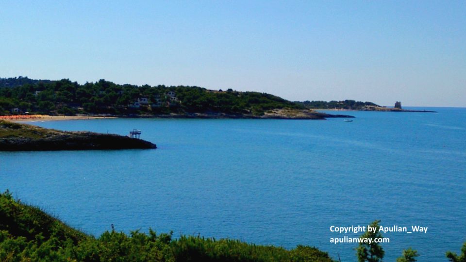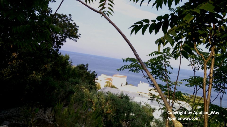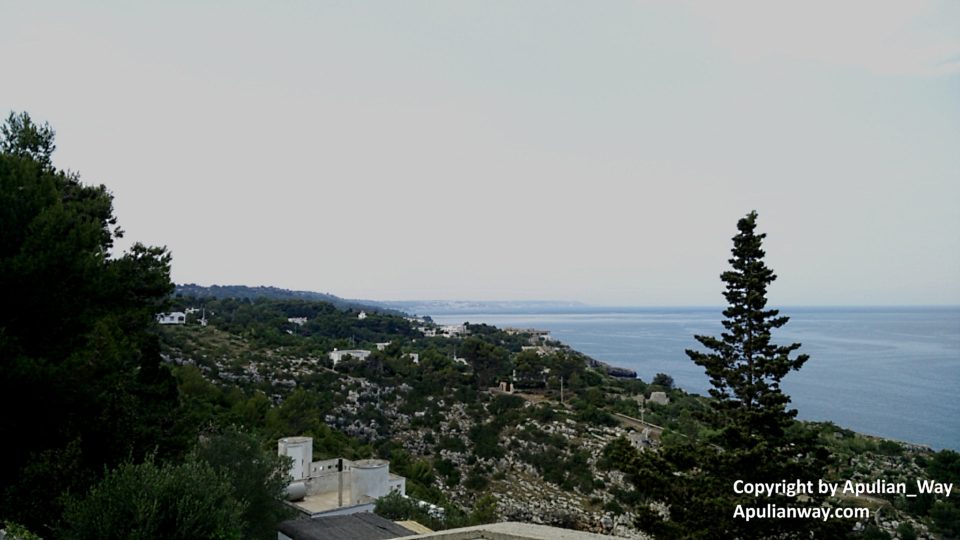
From Margherita di Savoia to Peschici – Across Natural Park “Foresta Umbra”
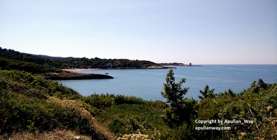
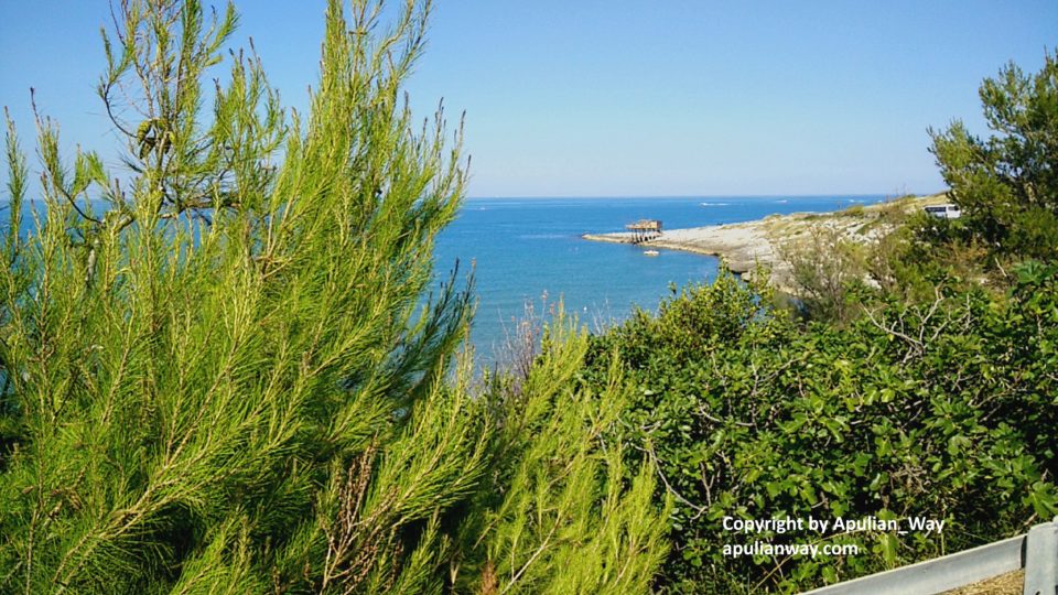
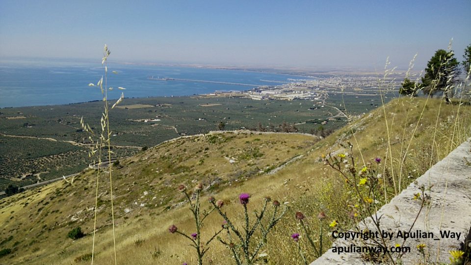
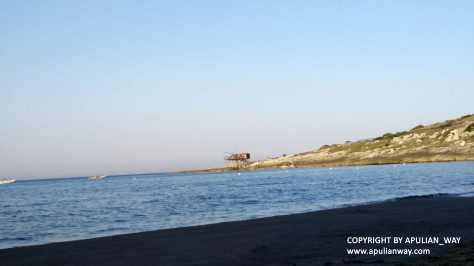
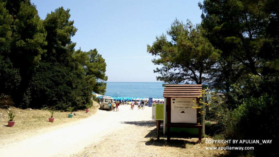
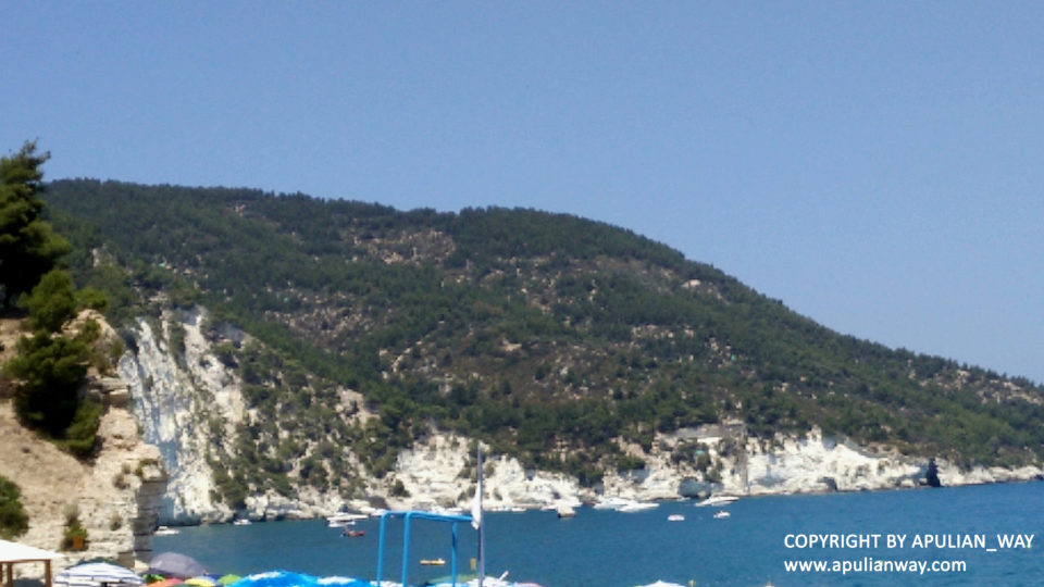
It is 130 km itinerary that crosses the wet area of Margherita di Savoia with the panorama of the famous mountains of salt. If you are lucky, you will see the spectacle of pink flamingos or herons that make a stop here during their periodic migration to the warm lands.
You must go beyond Margherita di Savoia and follow road signs for Manfredonia on the “SP159” road, then beyond Manfredonia follow signs for Mattinata/Monte S. Angelo and turn on “SP89 dir” road that conduces to Monte S. Angelo.
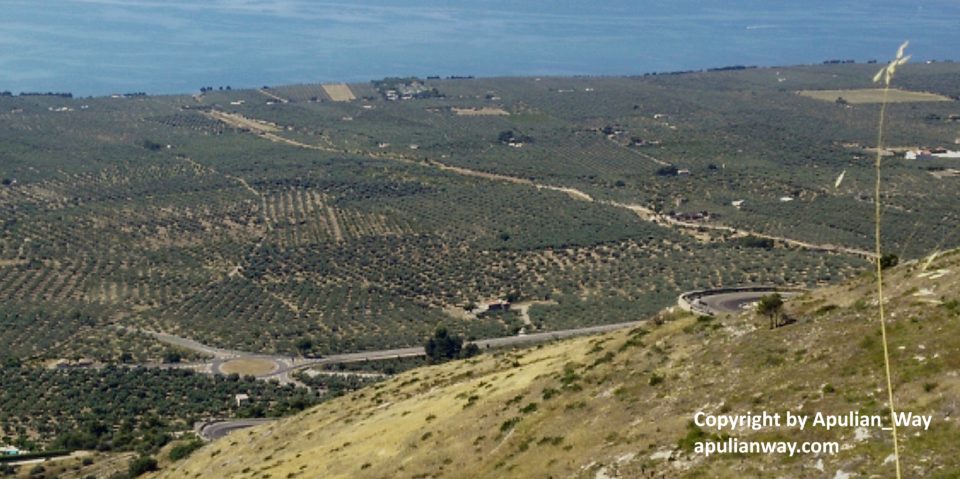
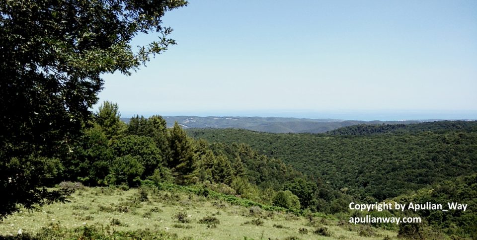
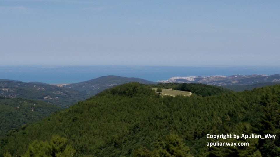
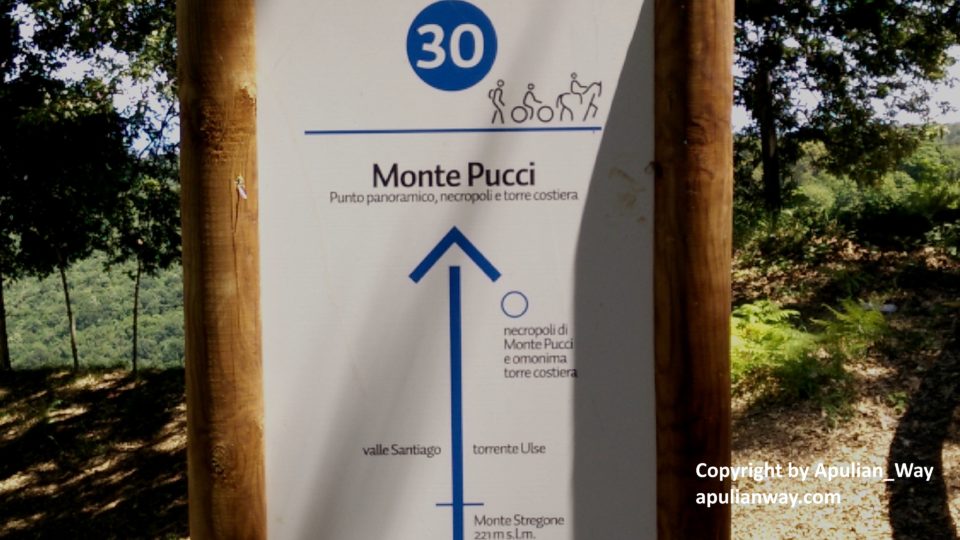
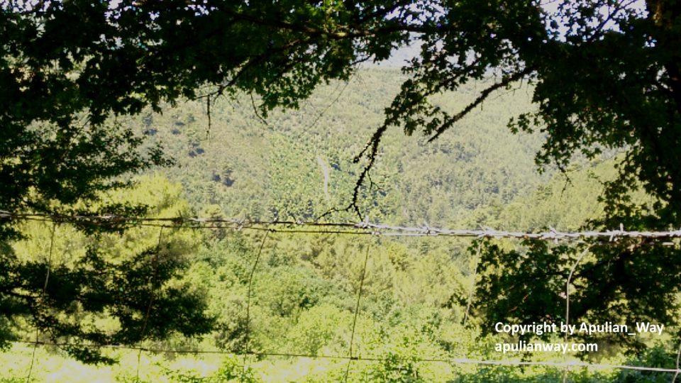
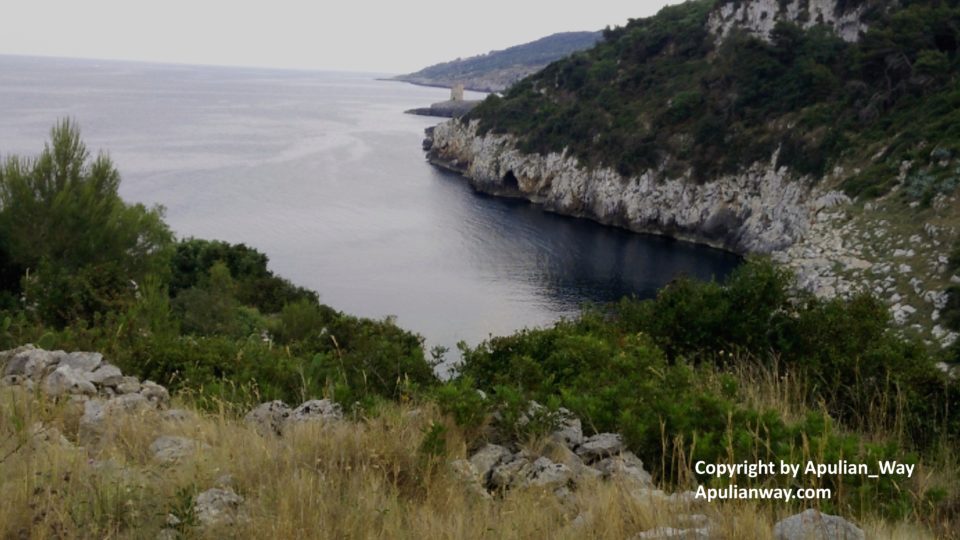
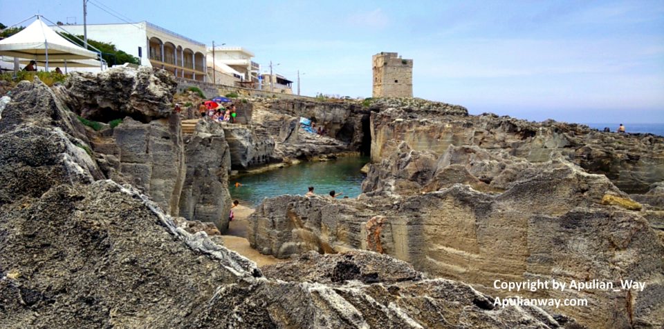
When arrive in Monte S. Angelo follow road signs for “Foresta Umbra” (SP528 road), go straight following it to the end of the road and will arrive in Vico del Gargano, from this town to Peschici there are only 14 km.
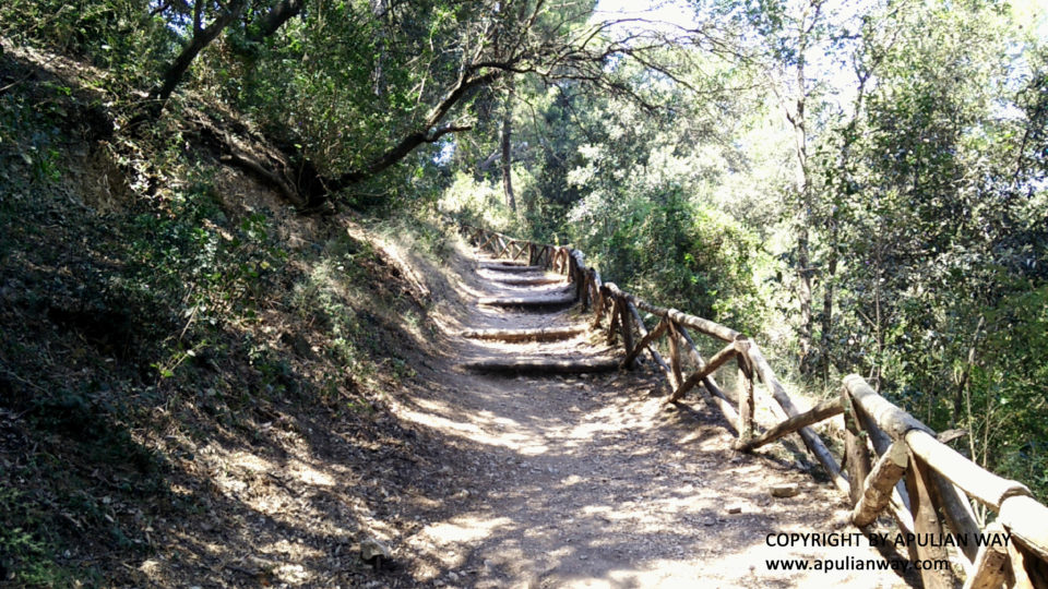
Beyond Monte S. Angelo pay more attention, because it will be a continuous succession of curves – sometimes very narrow – curves, up and down and broken asphalt. Inside the forest, the road will be very narrow with many blind curves. Never lower the guard, take a break, just in the forest there is a bar near info point. Pay attention to the fuel level too, in the Monte Angelo / Vico del Gargano section there are not refueling points.
Enjoy!
Lamps!