From Vico del Gargano to Vieste crossing Peschici

From Vico del Gargano to Vieste crossing Peschici

Going out from Umbra Forest, coming from Monte Sant’Angelo, the first town in the “National Park of Gargano” is Vico del Gargano.

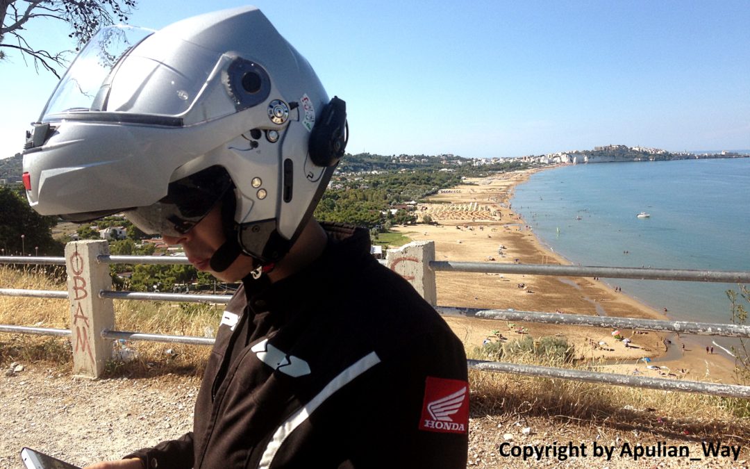
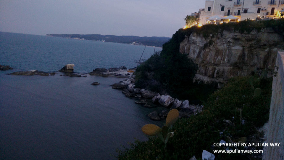
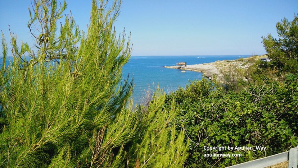
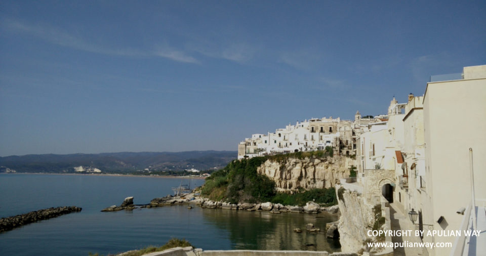
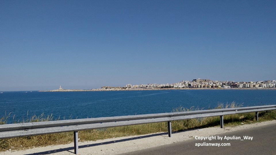
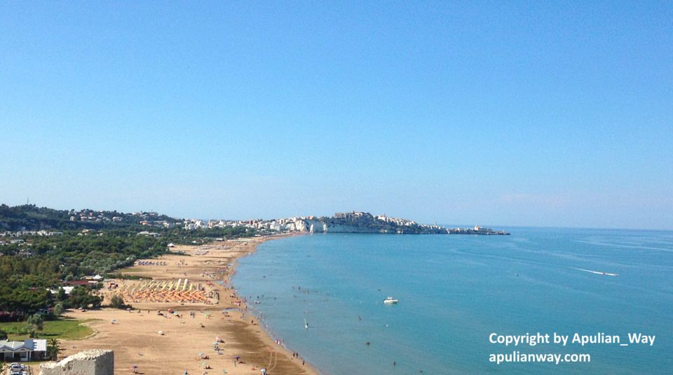
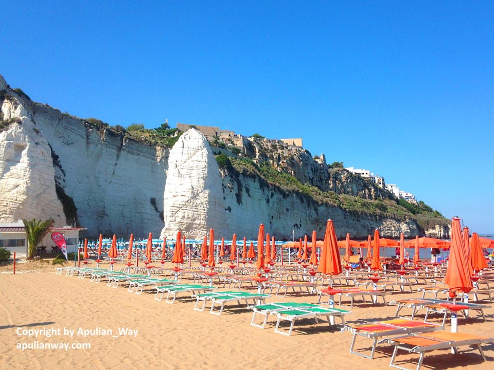
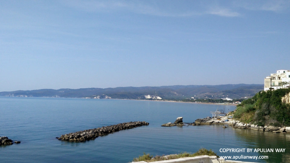
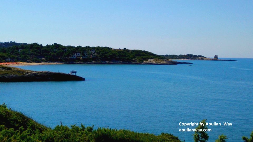
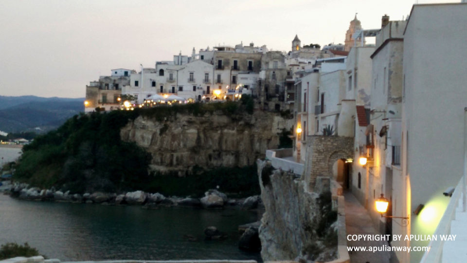
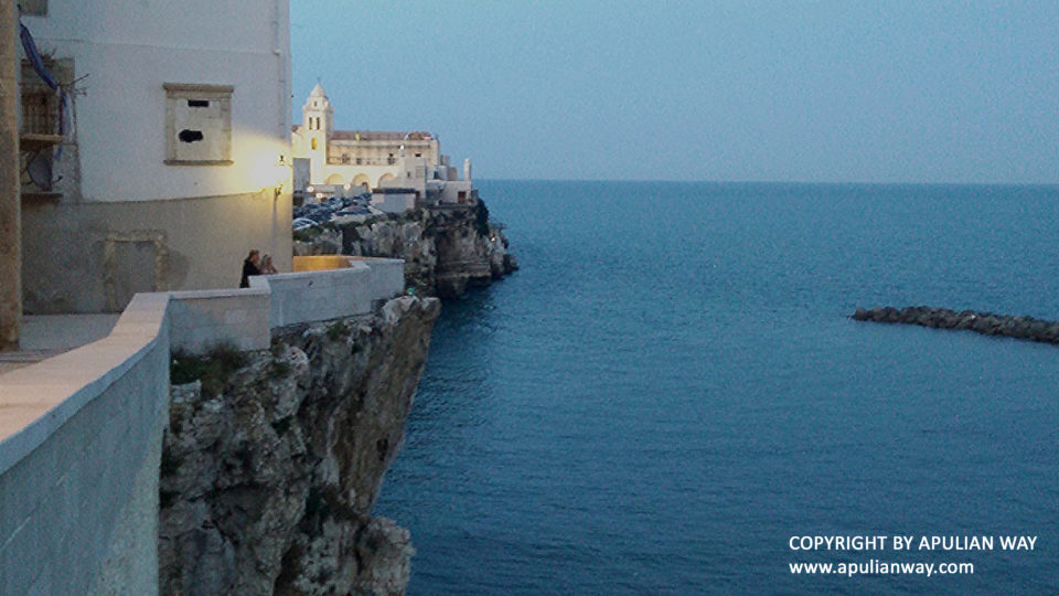
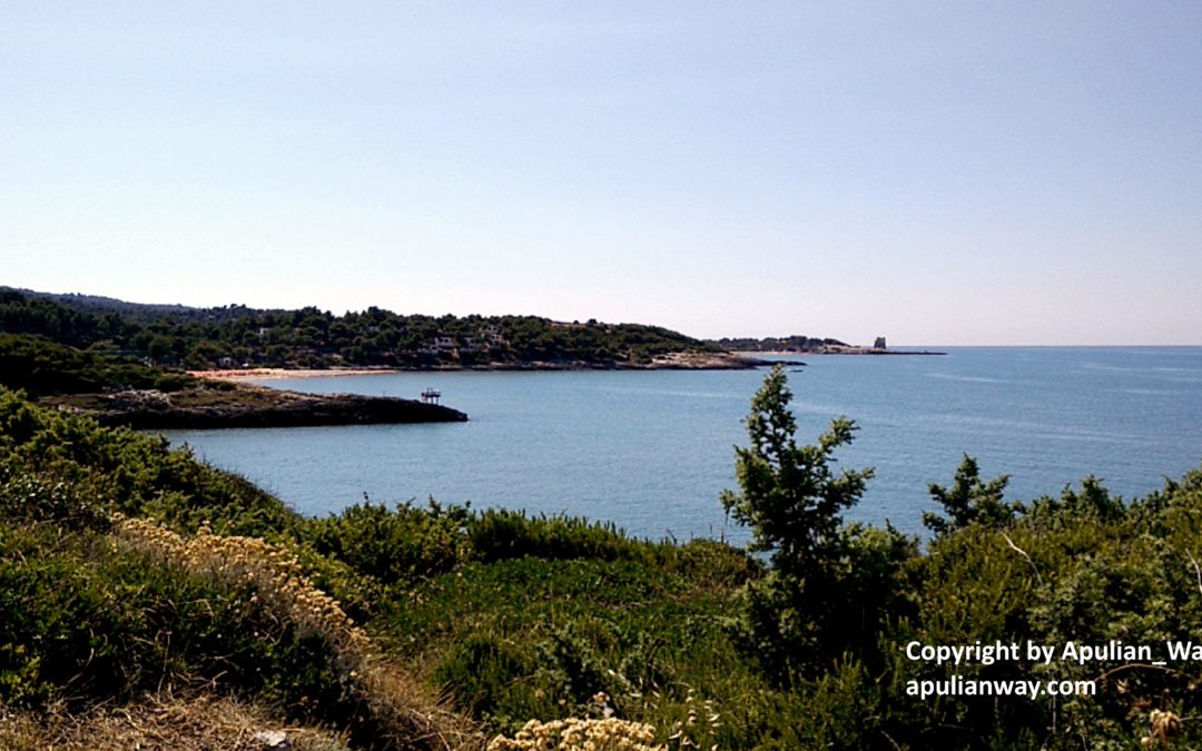
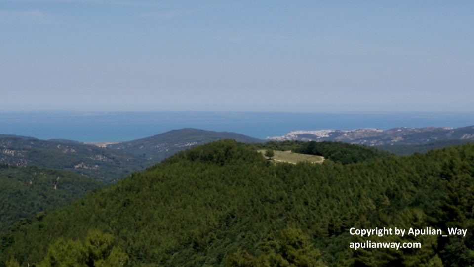
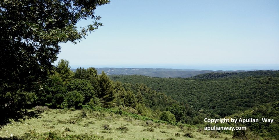
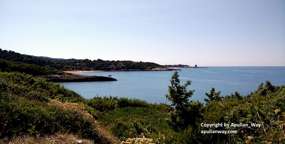
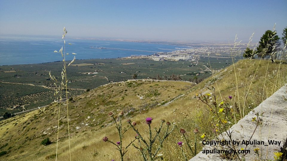
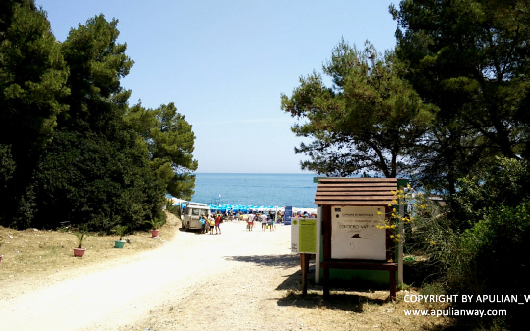
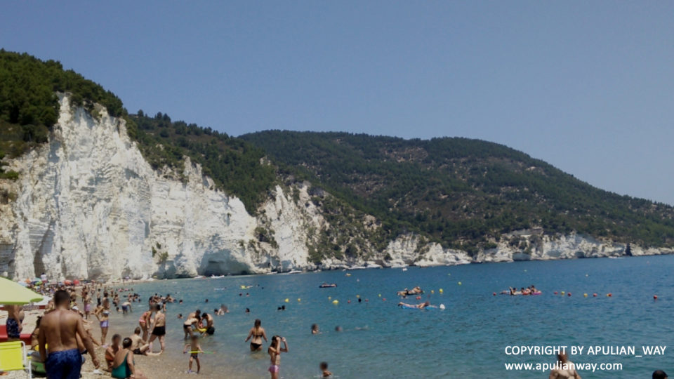
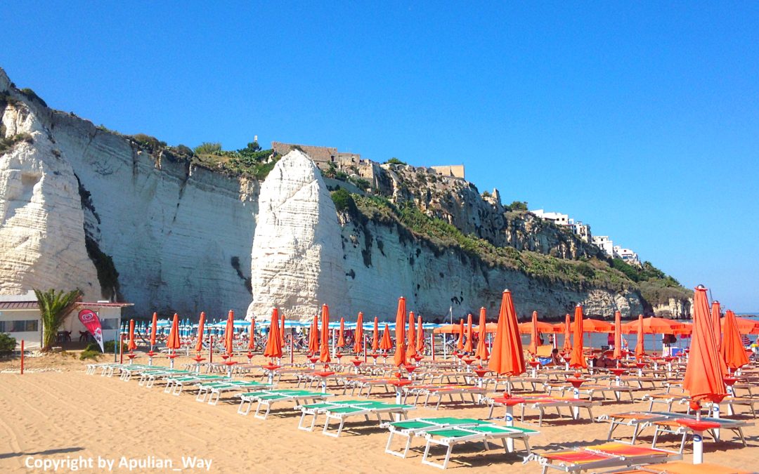
Starting from Vico del Gargano in direction of Vieste, we’ll cross Peschici and we’ll have a “taste” of wonderful panorama of the Gargano coastline, on a track of about 42 kilometers.

It isn’t a challenging route for pilots, but it’s useful to have an idea of the roads that we’ll find on the coastline.

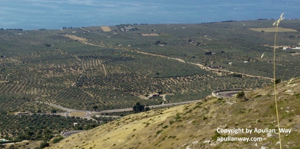
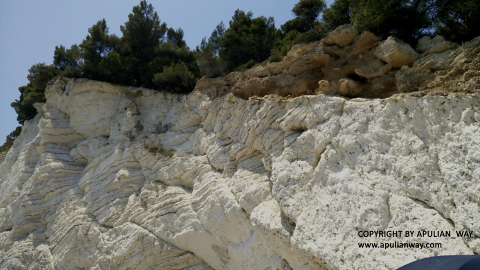
Pay attention to the bends and curves that have the side of the mountain on your right. Very often, these are curves that suddenly close the trajectory, causing you the risk to end on the opposite roadway, especially if you proceed at sustained speed.

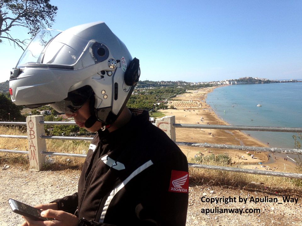
Especially in summer is important to keep an eye at places where are parked a lot of cars (children can cross road suddenly) and at car drivers that stop suddenly to make a photo to panorama (“shooting on the spot” – LOL).

Check your gasoline level, because refueling in these zones is like looking for gasoline for Paris-Dakar.

Enjoy!

Lamps!!

Gargano Coastal Road – From Peschici to Mattinata

Gargano Coastal Road – From Peschici to Mattinata

This is the famous coastal road of Gargano. Panoramic, amazing and sometimes dangerous.

From Peschici to Mattinata, necessary one stop in Vieste, is a continuous up&down from the hills to the sea, narrow curves with sea under your wheels, hairpin turns and short straight roads. This is the toughest road I’ve ever had, but the most fascinating too.

Two important cautions:

1) do not distract yourself with panorama, stop in one of the many roadside areas to take your pictures. Make a mistake on this road is very dangerous;

2) get your fill of fuel because refueling points are just at the beginning and the end of the route.

Enjoy!

Flash!

From Margherita di Savoia to Peschici – Across Natural Park “Foresta Umbra”

From Margherita di Savoia to Peschici – Across Natural Park “Foresta Umbra”

It is 130 km itinerary that crosses the wet area of Margherita di Savoia with the panorama of the famous mountains of salt. If you are lucky, you will see the spectacle of pink flamingos or herons that make a stop here during their periodic migration to the warm lands.

You must go beyond Margherita di Savoia and follow road signs for Manfredonia on the “SP159” road, then beyond Manfredonia follow signs for Mattinata/Monte S. Angelo and turn on “SP89 dir” road that conduces to Monte S. Angelo.

When arrive in Monte S. Angelo follow road signs for “Foresta Umbra” (SP528 road), go straight following it to the end of the road and will arrive in Vico del Gargano, from this town to Peschici there are only 14 km.

Beyond Monte S. Angelo pay more attention, because it will be a continuous succession of curves – sometimes very narrow – curves, up and down and broken asphalt. Inside the forest, the road will be very narrow with many blind curves. Never lower the guard, take a break, just in the forest there is a bar near info point. Pay attention to the fuel level too, in the Monte Angelo / Vico del Gargano section there are not refueling points.

Enjoy!

Lamps!

San Lorenzo Beach – Vieste (FG)

San Lorenzo Beach – Vieste (FG)

Vieste is a succession of sandy beaches, for all the length of its waterfront, with bars, restaurants and parasols.

If you want a shady and quiet beach, you need to move about 4,5 km from the downtown and you’ll find San Lorenzo beaches area.

We choose beach named “behind San Lorenzo”. Fine sandy beach, with few rocks both on shore and water.

Those who want comfort, at about 50 m, will find a bar equipped with umbrellas and a restaurant too.

GPS coordinates to reach it are:  41.896456,16.155896

Vignanotica Bay – Mattinata (FG)

Vignanotica Bay – Mattinata (FG)

Vignanotica Bay is a part of Mattinata town, far 20 km from its downtown and 26 km from downtown of Vieste.

Going there it’s a little adventure, especially by motorcycle, because the road to the bay becomes narrow and curvy and when you go over 2nd private parking for cars (not suitable for motorcycles, his road surface is unstable), the asphalt finishes and you must go down for 100 mt to arrive at motorcycle parking. It’s more easy than it appear. The small natural trail is nearby and conduces to the beach of the bay. It is made of small stones (I recommend wearing appropriate shoes) and lies under a very high cliff. Wonderful view.

There are two bars with sunbeds and parasols, the bar on your right, coming out from the natural trail, has staff more friendly. In my opinion.

Gps coordinates for parking and closer trail are:  41.760501,16.162142